

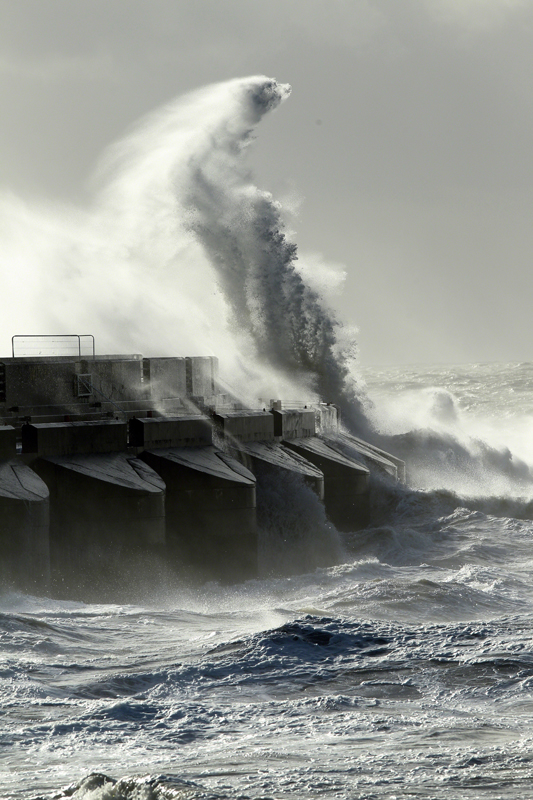
A spell of unseasonably strong south-westerly winds, accompanied by heavy, blustery showers, is expected to reach the south west of the UK during the early hours of tomorrow morning, moving east across many parts of England and Wales through the day.
Gusts are expected to reach 40-50mph inland, and 50 to 60mph along exposed coastlines in the south and west.
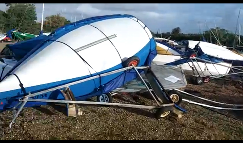
The Met Office has issued a yellow ‘be aware’ weather warning, asking members of the public to be aware that these winds may lead to disruption to transport, and in view of the time of the year, there is increased potential for disruption to outdoor activities.
Also, strong winds and large waves will coincide with a period of spring tides this weekend. This is expected to lead to some localised instances of spray and wave over-topping of flood defences around the coasts of south-west England and Wales.
This warning has been updated to extend the warning more widely across England and Wales.
The chief forecaster for the Met Office said: ‘A vigorous area of low pressure is expected to track eastwards cross the northern half of the UK on Saturday. Strengthening winds on its southern flank will reach south-western areas of the UK early on Saturday.
‘The peak in wind strength will be across south-west England and south Wales during the morning, then extending eastwards through the course of the day. Inland areas will have the strongest winds during Saturday afternoon, when localised gusts of 50mph are possible, particularly in association with showers.’
Find forecast updates on the Met Office website.

Drilling rig blown ashore during storm in Western Isles
A drilling rig has run aground on the Isle of Lewis in the Outer Hebrides of Scotland after being hit…

Turn a storm jib into a trysail
A storm jib came with my second-hand 23ft (7m) Hunter Duette, but it couldn’t be run up the forestay because…

7 Storm Jibs on test
We test 7 storm jibs, including wrap around and sleeved sails, to find out the best options for your boat
UK Coastguard issues warning ahead of expected storms
Boat Owners are being warned to batten down the hatches ahead of Storm Frank which looks set to hit coastal…
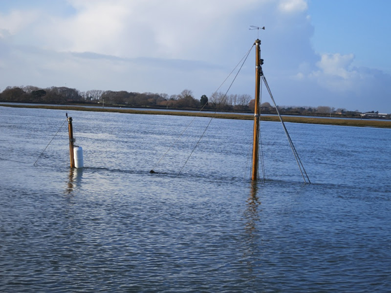
Yachtsmen warned of navigational hazards following storms
The latest in a string of violent storms has left a trail of navigational hazards around damaged coastal regions
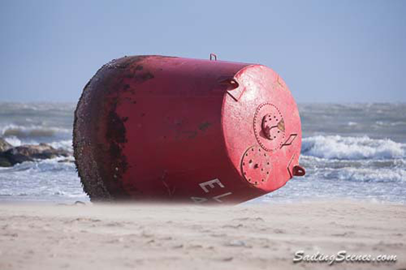
Large red buoy blown ashore by storms
Poole Harbour Commissioners are advising mariners to navigate with caution after two buoys are misplaced

Surge in boat insurance claims following storms
Batten down the hatches - there's more extreme weather on its way!

Strong winds, rough seas and a storm surge
Weather warnings as an Atlantic storm brings a North Sea storm surge to parts of the UK

Met Office issues ‘red warning of wind’ as storm strikes
Residents of north-west England and Wales are being urged to take safety action
Warning to wreck scavengers: Report it or risk £2,500 fine
Equipment has been taken from a French fishing boat that washed up after a dramatic rescue

Coastguard warning: ‘Do not take risks’
Severe weather warnings for rain, snow and wind have been issued by the Met Office
Warning to boat owners to secure vessels against storm
A major Atlantic storm is set to move across the UK over the next 24 hours

How to understand French VHF méteo weather forecasts
Understanding French VHF weather broadcasts