The ‘ping’ is king: You can navigate by ‘feel’ over the seabed in adverse conditions by using an echo sounder – Dick Everitt explains how to do it...
For centuries, sailors have used the contours of the seabed as navigation aids, writes Dick Everitt.
After a murky ocean crossing without a good astro fix, old sailing ship skippers would sound with an extremely long lead line to find the continental shelf. Years later, submariners used echo sounders to feel their way around their hunting grounds by following the depth contour lines on a chart.
We can do the same thing if we’re stuck in fog with a defunct GPS and no radar, or perhaps even when taking a Yachtmaster exam. It cropped up in mine, but luckily I’d been taught by ‘blind nav’ expert John Goode only the week before!
The system is straightforward, and the tools you need include a detailed chart, a tidal stream atlas, an accurate echo sounder checked with a lead line and corrected for transducer depth, a set of pre-worked tidal heights for each hour of the passage and an accurate compass and log.
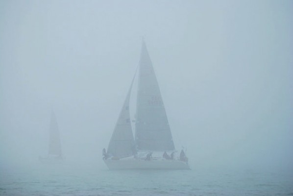
If it’s getting foggy, head out of the shipping lanes and stay on the safe side of any navigation buoys. Do an estimated position from your last fix, but if there are buoys nearby, go and stem the tide near one to get an accurate fix and measure the strength and direction of the tidal stream.
Draw a ‘tide arrow reminder’ on the chart to help plot a course. The plan is to find a convenient contour line we can ‘ping’ along with our echo sounder that will take us into a safe anchorage or harbour.

Mark the ‘height of tide’ on the chart, so the 2m, 5m and 10m contours now read 5m, 8m and 13m. The tide arrow shows we have to allow for 1 knot of tide and adjust our ‘courses to steer’ accordingly: mark these along the 2m (now 5m) contour line. Close the coast on 010°C to allow for the tide. When the echo sounder reads 8m we’re crossing the 5m contour and we need to turn on to 065°C when the depth reads 5m. Follow the contour line around, adjusting the course as the depth varies.
Lumps and bumps
Of course, life isn’t that simple and there are often a few lumps and bumps to deal with, so we need an average ‘course to steer’ for each leg that we can mark on the chart. Be prepared to zigzag slightly to keep on the desired depth setting on the echo sounder.
Sounds complicated? Try it on a sunny day with the navigator down below, with the curtains drawn, and you’ll be surprised how accurate it is.
Choose a contour that’s clear of dangers, but with accurate tidal heights you can often sail over isolated rocks. So if we’ve got 3m of tidal height for this hour we can follow the 2m contour with the echo sounder reading 5m, if the transducer offset is for the water surface. Write the echo sounder depth on the chart contour.
We don’t have to slavishly follow the contour, but we need an easy course to sail while monitoring the echo sounder reading.
We could even use a lead line if all the electrics have gone. Traditional leads had a hollow base armed with tallow or soap to get a sample of the seabed to help old sailors know where they were: charts are marked with ‘S’ for sand and ‘M’ for mud, etc.
As we near the harbour we might need to shift into the next contour line, but be aware that navigation marks are often placed on the charted 0m, 2m, 5m and 10m contour lines. These will give us a good fix, but we don’t want to bump into one!
Related articles
Ideally we should sail, to keep the noise down, so we can listen out for any other vessels or buoys. We should give appropriate sound signals, use the autopilot on straight legs to free up another pair of eyes and ears, and monitor port control radio for any shipping movements. If you can’t find a safe place to anchor, call the harbour control for advice, as some have radar and can talk you in.
Not just for fog
At any time the echo sounder can give a useful check on your position as you pass over an extreme change in depth, such as a ridge or trench. Have a look at your charts and you’ll find them in all sorts of places: then it’s just a matter of setting up your depth alarm.
Modern fish finders give an even better picture of the sea floor, in great contrast to the first time I used the technique heading for the Straits of Gibraltar. The old echo sounder didn’t have an alarm, but the graphical trace dropped straight off the screen as we passed over the edge of the massive strait’s trench, which plummets to more than 300m. The skipper just said ‘turn left now!’


