
When you are on the sea, in any kind of boat, it’s worth knowing a little about the tides for two reasons, writes champion kayaker Andrew Morton
- If you choose the tide correctly it’ll help you on your way in a totally green way – free energy
- If you choose your tide incorrectly, and the wind is blowing against the tide, you could find yourself in very unpleasant and dangerous conditions, no matter which direction you are going.
I’ve got a lovely motorboat, Tiptoe, with Garmin kit for navigation. I can travel at up to 28 knots if I wish, but I’m happier at 6 knots, and I carry a kayak with me, which I can paddle at 5 knots for an hour or two without a problem.
Travelling at those slower speeds makes consideration of the tide important. I have all the gizmos to help me calculate the tides, on my boat and on my phone, but I have to be honest, there’s a lovely paper-based method I use because I find it’s by far the easiest and most simple method.

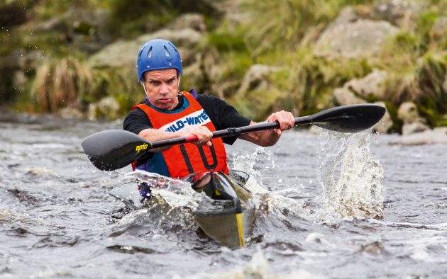
Andrew Morton with his Finnmaster Tiptoe and roof-mounted racing kayak off Mull
It can cost as little as £5 per annum, and does not rely on you needing a signal from anything. If you are sailing at 3 knots against a 1 knot tide, then your speed over the ground (SOG) will be 2 knots. If the tide is with you, it will be 4 knots. It’s not hard to see that using the tide correctly will double your speed, or half your time, whatever way you look at it.
If you’re travelling more quickly, the impact of the tide is less. So, if I’m flying along in Tiptoe at 20 knots, the impact of a tidal flow of 1 knot will be just 5%, which I can live with. The rule is very simple then: the slower you are travelling, the more important it is to take note of the tidal flow.
And I know that many PBO readers are often travelling very slowly under sail!
Article continues below…
Nav in a Nutshell: Navigate by ‘feel’ using an echo sounder
The ‘ping’ is king: You can navigate by ‘feel’ over the seabed in adverse conditions by using an echo sounder…

Nav in a Nutshell: What is a transit and how are they used in navigation
Lining up a pair of appropriate land features or navigation marks can help keep you safe, as Dick Everitt explains

The QuickTide code for the day set at G0 for the worked example
Two paper tools for calculating tides
My method makes use of two paper tools:
- QuickTide – A single copy of this little gadget costs £10 and lasts for two years – so £5 per annum.
- Admiralty Tidal Stream Atlas – I have two, one for the west coast of Scotland where I do much of my cruising, and one for the north east, including Shetland and Orkney. They cost around £15 each, although, if you have a chart for the area you are cruising in, you’ll find small, less detailed, tidal stream pictures on the back of the chart.
Duncan Ogilvie, who invented the QuickTide system, has sold almost 50,000 of these over the past 20 years, to canoeists, yachties, swimmers, anglers, bird-watchers and many others, who want to know about the tides. That’s testament to its value.
The QuickTide card enables you to find out the times of high tide and low tide at any time over two years in the area you have chosen. Firstly, find the colour of the area you are cruising in, then note the code for the date on which you are planning to sail.
Finally, align your colour of arrow with the code from the table. If the table code is in bold italics, then it’s a spring tide. If the code is in a black-lined box, it’s a very big spring tide.
The Admiralty Atlas
But how do I relate the QuickTide to the Admiralty Atlas? Very easy. All you need to know is the time of high tide at Dover, and on the Scottish card shown on the previous page, the colour is a strong red. So, the Isle of Man is my ‘Dover’ for Scotland. Align the red arrow to the code for the day, and you’ve got high tide at Dover.
Take care, this is not quite the case for the other two cards, which cover mostly England, Wales and Ireland, with some of France and Spain. But whatever card you buy, it’s easy to work out the colour code for Dover.
The Tidal Atlas has 13 pages: six hours before high tide at Dover, high tide at Dover, and six hours after high tide at Dover.

Tidal Atlas page confirms tidal flow speed between Rhum and Eigg at 1pm on the day
So, once I know the time of high tide at Dover for the day in question, I simply go to the middle page of the Atlas (high tide at Dover) and mark the time in pencil at the top of the page (pencil is important, because I want to rub it out when I use it for another day).
If high tide at Dover is at 2pm, I just pencil in the appropriate times on all the other 12 pages of the booklet as 8am, 9am, 10am, 11am, noon, 1pm, 2pm, 3pm, 4pm, 5pm, 6pm, 7pm, 8pm.
I can then plan my day and, during the day, can look at the relevant page of the atlas at any time I want and get an instant summary of the tidal flow.
The speed and direction of the tide on the Atlas is given as two numbers with an arrow. The arrow varies in thickness and length according to the speed of flow of the water, and the two numbers relate to the average speed of the tide at neaps and springs in tenths of a knot.
So 02,05 means that the speed of the tide at neaps is 0.2 knot, and springs, 0.5 knot. Often the speed isn’t given, and you have to make your own judgement based on the thickness of the arrows.