
Simple step-by-step chartwork can show us when we’ll need to tack to clear a headland, says Dick Everitt.

It’s easy to be put off by vector triangles and geometry, so for this example we’ll keep thing simple – we’ll assume our yacht will tack through 90°, makes no leeway, and we have steady tide and wind that run in the same direction for several hours!

The diagrams should make it clear. The wind and tide are from the north and the tidal rate is 1 knot, with the boat making a steady 5 knots.
We are at point A and want to know when we can tack to clear the headland by ½ mile.
- First, draw a ½-mile safety margin radius around the headland.
- Mark in a water track at 45° to the wind (the closest angle we can comfortably sail to the wind in this particular boat).
- Measure down the line 5 miles of boat speed.
- From the end draw in a tide line 1 mile long.
- Complete the triangle to give a ground track. Measure its bearing (055° in this case), and at the same time extend the length of the line.
- Now do the same from your start point A to give a ground track – and extend it.
- Where the two extended ground tracks cross each other (B) is the place to tack.
If the end of the headland is high and well defined we can use a handbearing compass to measure the bearing to C and tack when it reaches 055°.
Alternatively, from our chartwork we can see it is 7 miles from A to B and our SOG (speed over the ground) is 4.25 knots, so we need to tack in about 1 hour 40 minutes. With either method, use your measured bearing as a clearing bearing – if you drop below it you need to tack or point higher.
In reality you will need to allow for leeway by adjusting your bearing by a few degrees – in this example, tacking when the headland bears 060° instead of 055° would allow for 5° of leeway.
This Nav in a Nutshell was published in the April 2012 issue of PBO. For more useful archive articles explore the PBO copy shop.

Nav in a Nutshell: What is a transit and how are they used in navigation
Lining up a pair of appropriate land features or navigation marks can help keep you safe, as Dick Everitt explains

Nav in a Nutshell: Lighthouse characteristics on charts
Dick Everitt helps illuminate our understanding of lighthouse characteristics on charts, their dipping distances and loom...

Nav in a nutshell: Electronic charts
Dick Everitt assesses the differences between raster and vector charts when deciding on which chart plotter to buy

Nav in a nutshell: Know tidal vectors
'It’s easy for any sailor to remember how to draw tidal vectors with a handy little aide-mémoire!' Says Dick Everitt.…

Nav in a nutshell: Shaping a course
GPS is not infallible, so it makes sense to know the basics of shaping a rough ‘course to steer’ on…

Nav in a nutshell: How to use a Breton Plotter
Breton Plotters are simple to use in practice, but tricky to explain on paper – it’s much easier if you…
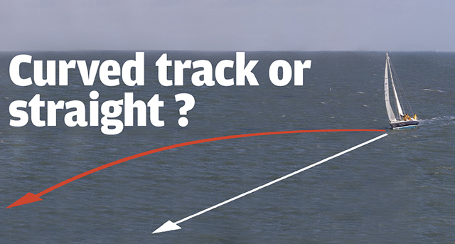
Nav in a nutshell: Curved track or straight?
GPS will keep us on the straight and narrow by constantly showing how much we need to adjust our heading…