
Waterproof coverage of entire South Coast
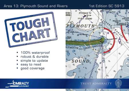
The United Kingdom Hydrographic Office (UKHO) Admiralty Leisure has launched the latest in its series of ever-popular Tough Charts in the form of a brand new Tough Chart for Plymouth Sound and Rivers. The new Tough Chart (SC5913) provides various scale coverage from Plymouth Sound to Gunnislake, including major rivers and estuaries, in the form of ten robust and durable pages. Also included is a comprehensive index diagram detailing coverage of this product.
Admiralty Tough Charts are completely waterproof, A3 sized, spiral-bound booklets containing approximately 16 charts of the specific area as well as approach plans covering popular harbours.
The Tough Chart contains charted detail of Plymouth Sound Marinas and local Rivers in the area at various scales; all charts are referred to WGS84 datum. This Tough Chart, along with SC5904, Falmouth to Plymouth, SC5903, Plymouth to Bill of Portland, SC5914, Rivers and Harbours of South Devon and SC5912, Rivers and Harbours of South Cornwall, now completes Leisure Folio coverage of the South Western Coast of England.